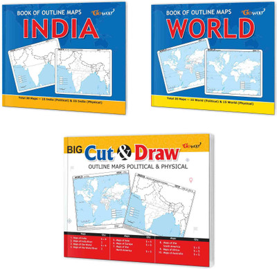
BOOK OF OUTLINE MAPS INDIA, BOOK OF OUTLINE MAPS WORLD And BIG CUT & DRAW OUTLINE MAPS POLITICAL & PHYSICAL| Combo Of 3 Maps Books | Interactive Combo Of Outline Maps For Young Explorers(Paperback, GOWOO)
Quick Overview
Product Price Comparison
"The set of books, which includes the ""Book of Outline Maps India,"" ""Book of Outline Maps World,"" and ""Big Cut & Draw Outline Maps Political & Physical,"" offers a comprehensive collection of resources for geographical learning and exploration. These books are designed to enhance knowledge and understanding of maps, geography, and the world around us.The ""Book of Outline Maps India"" focuses specifically on the geography of India. The ""Book of Outline Maps World"" takes geographical exploration a step further by providing an extensive collection of outline maps representing various countries and continents across the globe. From Europe to Asia, Africa to the Americas, readers can explore the world's different regions, countries, and capitals. The book presents an opportunity to learn about countries' physical features, political boundaries, and cultural diversity worldwide. It is a valuable tool for students, and geography enthusiasts who want to broaden their knowledge of the world's geography.The ""Big Cut & Draw Outline Maps Political & Physical"" offers a unique and interactive approach to map learning. It is an excellent resource for hands-on learning, encouraging creativity and spatial understanding. Readers can label and colour the maps, adding their own personal touch to the learning process. The book covers both political and physical aspects, providing a comprehensive understanding of the world's countries, and physical features.With this set of books, readers can embark on an exciting journey of geographical exploration. Whether used in educational settings or for personal learning, these books offer a wealth of information and opportunities for interactive learning. In conclusion, the set of books comprising the ""Book of Outline Maps India,"" ""Book of Outline Maps World,"" and ""Big Cut & Draw Outline Maps Political & Physical"" provides a comprehensive and interactive learning experience in the field of geography. These books aim to enhance readers' knowledge and understanding of the world's geography."

